Friends of the QueensWay unveil initial parkspace renderings
Visits: 145
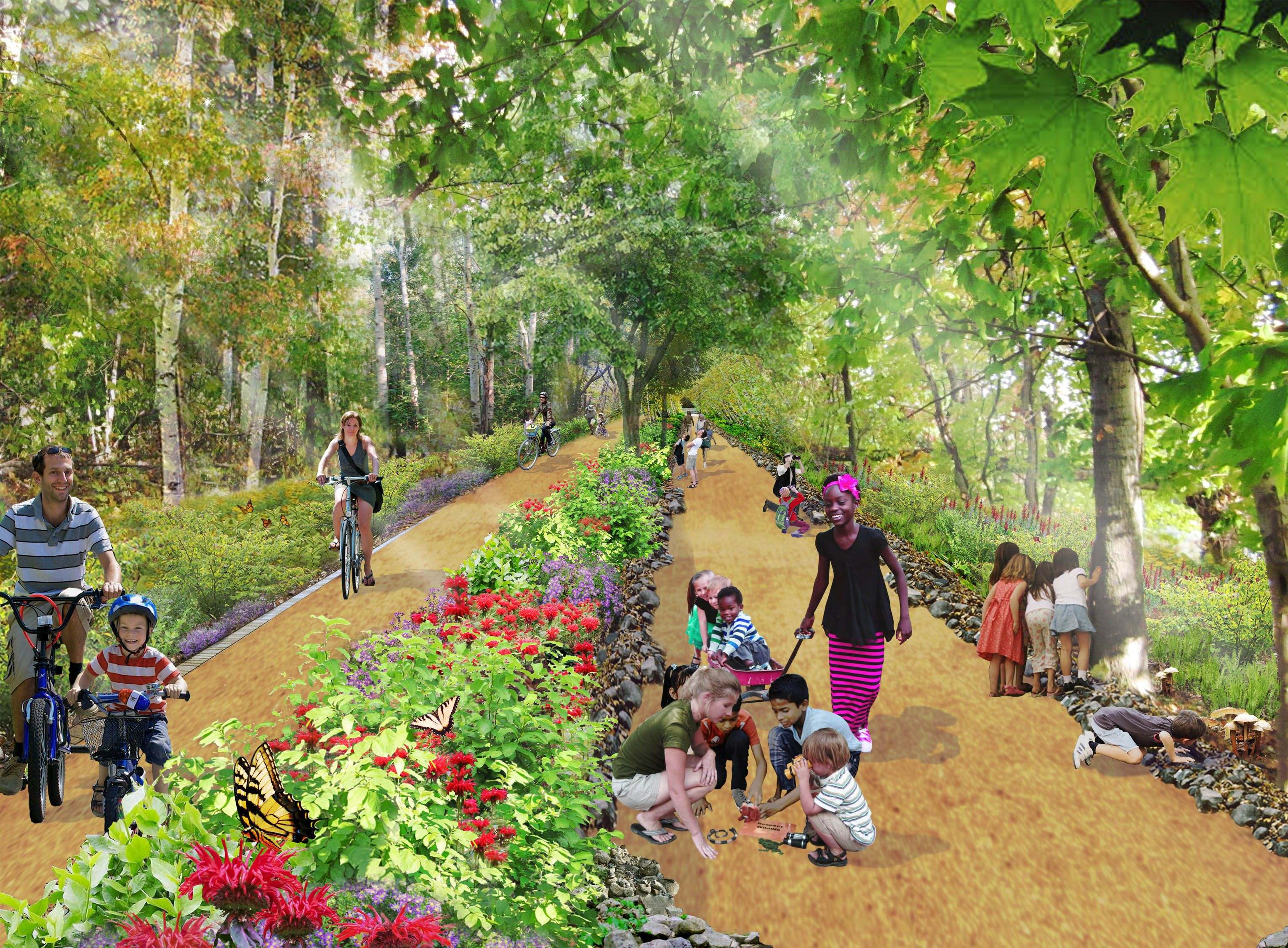
Rendering provided by the Friends of the QueensWay
The Friends of the Queensway and Trust for Public Land released preliminary concept designs of the proposed QueensWay “highline” parkspace today in preparation for upcoming community workshops this month.
The nearly 3.5-mile stretch of abandoned LIRR Rockaway Beach Line tracks, from the Rockaways to Forest Hills, has become a heated topic of discussion for community boards, civic groups and the residents and business owners with adjacent property lines.
The Trust for Public Land and the Friends of the QueensWay chose New York firms WXY architecture + urban Design and dlandstudio from 29 proposals from around the world to draw up the greenspace plans, and now it is left up to the residents to make the finishing touches.
For those living in Forest Hills, the park advocacy groups will present dozens of their conceptual images on March 24 from 7 to 9 p.m. at the Metropolitan Expeditionary Learning School, located at 91-30 Metropolitan Ave., in Forest Hills.
“From the beginning of this project, we have been in awe at the amount of enthusiastic support, and stimulating ideas thousands of residents have contributed,” said the Friends of the QueensWay and Trust for Public Land in a statement regarding the workshops last week. “As we embark on this next round of community meetings, we look forward to compiling additional input that will help bring us to the next phase of the project.”
The state Office of Parks, Recreation and Historic Preservation, along with Governor Andrew Cuomo’s Regional Economic Development Council, have funded the study through a $467,000 grant, along with an additional $140,000 from the city Department of Environmental Protection.